Flooding closes over 100 crossings in Austin
Barton Springs Pool was shuttered and at least one driver had to be rescued amid overnight flooding in the Austin area as of Monday morning.
Why it matters: A flood watch continues through Tuesday, with pockets of heavy rainfall in the forecast.
Stunning stat: Some areas of the Austin area could receive "up to and above 8 inches" of rain during this set of storms, per a forecast discussion posted by the National Weather Service (NWS) on Monday.
State of play: As of Monday morning, 107 crossings were closed in Austin.
What's happening: "Really deep moisture" in the atmosphere met a weak cold front from the north, leading to the heavy downpours, Cory Van Pelt, a meteorologist with the NWS New Braunfels office, tells Axios.
Zoom in: NWS sent out multiple flash flood warnings overnight.
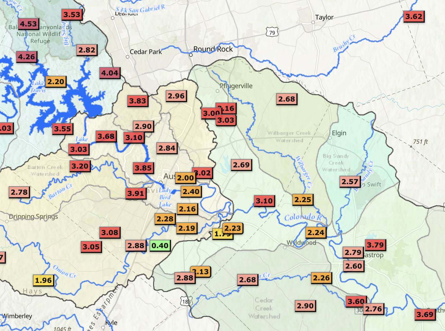
Zoom out: Despite all the recent precipitation, Austin has seen a total this year of 15.51 inches of rain as of Monday morning — trailing the normal year-to-date accumulation of 16.89, per NWS.
What's next: Expect muggy weather and more rain this week.