Tropical storm could form in Gulf, drench Louisiana
A tropical storm could form in the Gulf this week, marking the first named storm of the Atlantic hurricane season.
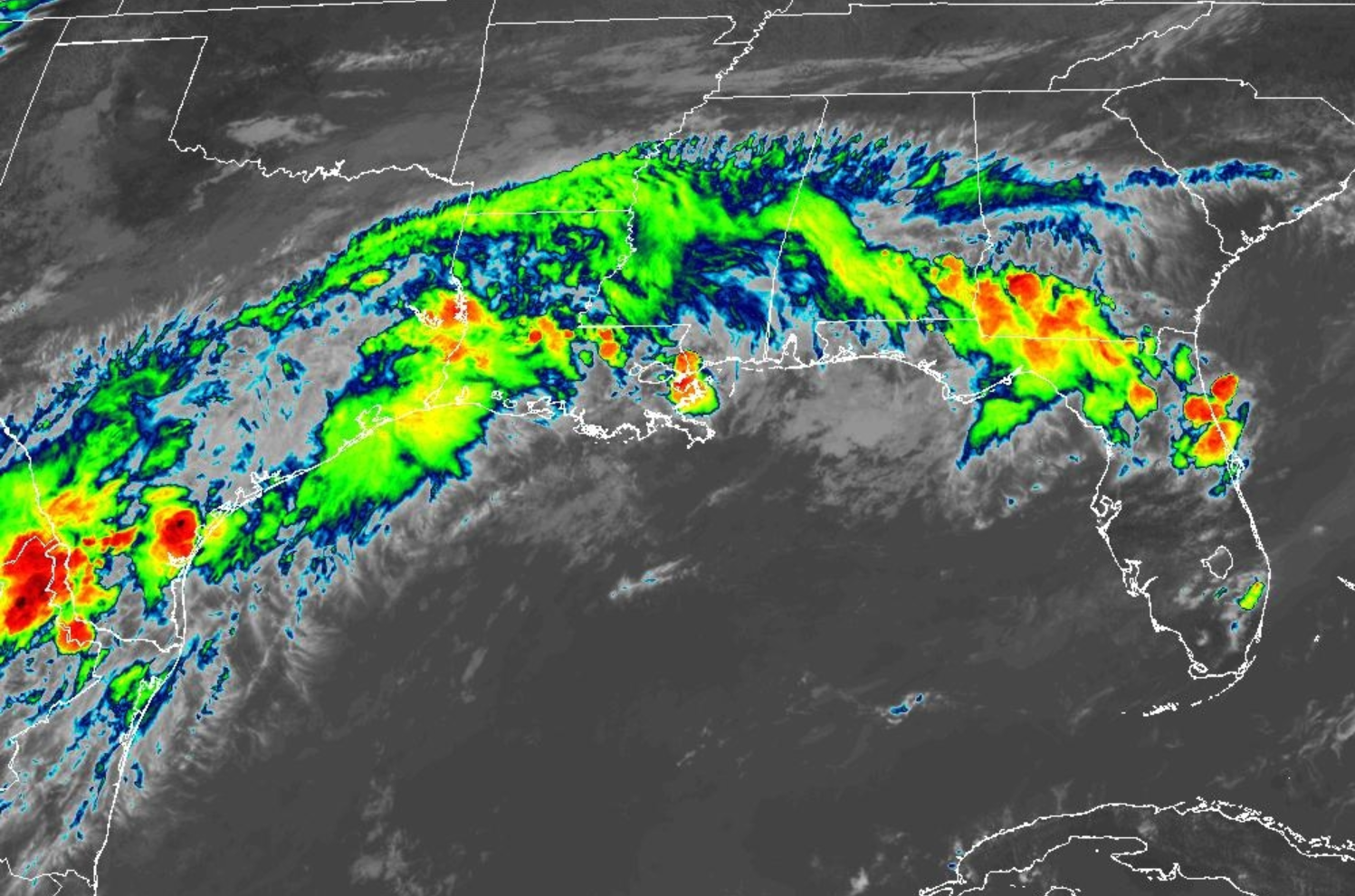
Why it matters: The system could bring up to 10 inches of rain to Southeast Louisiana, regardless of further development, the National Weather Service warns.
The big picture: The low-pressure system could develop into a "short-lived" tropical storm Wednesday into Thursday, the National Hurricane Center said Monday afternoon.
If so, it will be named Arthur.Residents in New Orleans metro should prepare for periods of intense rain over the next several days, says Mike Buchanan, the meteorologist in charge of the NWS office in Slidell. Flash flooding is likely.Gusty winds and coastal flooding are also possible in Texas and southwest Louisiana. Tropical storm watches or warnings could be required there Tuesday, NHC says.What he's saying: "It's not going to blast on through" New Orleans, Buchanan tells Axios.
There's a "very moist" air mass that's stalled over the region, so residents should expect a very wet and stormy week, he says.Threat level: South Louisiana is under a flood watch through 7am Friday.
Rainfall totals of 3 to 6 inches are expected through Friday morning, with "considerably higher" amounts in isolated areas, NWS says.Rainfall rates could exceed 3 to 4 inches per hour. Pumps in Orleans and Jefferson parishes generally can handle 1 inch of rain in the first hour and then a half-inch per hour after that.Go deeper: Latest forecast